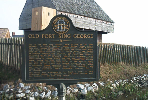

Old Fort King Georgia, Darien
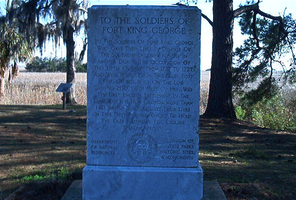
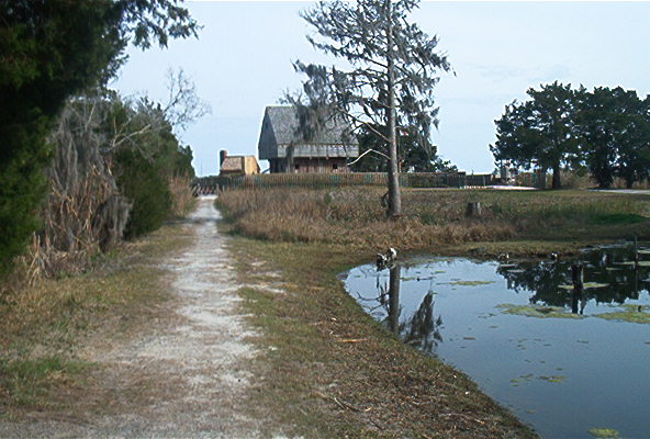
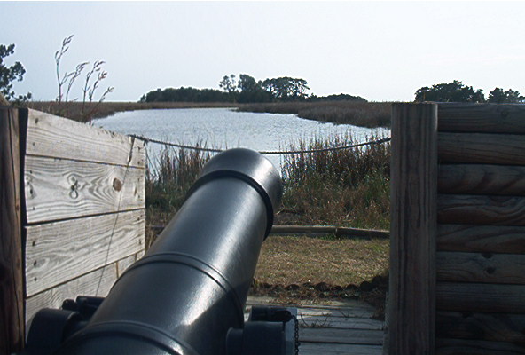
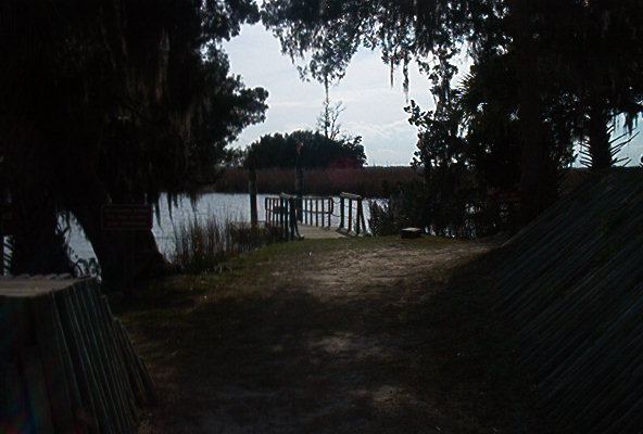
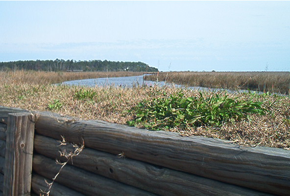
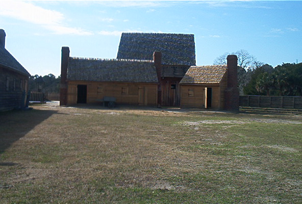
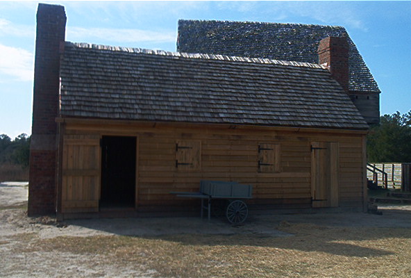
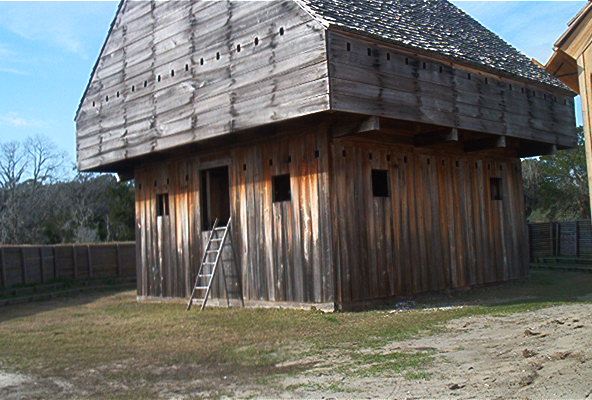
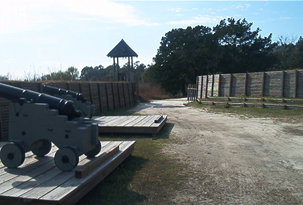
Fort King George interfaced as the southernmost outpost of the British Empire in North America. It was named for King George I and was situated near Darien, 1.5 miles east of U. S. Hwy 17 and 3 miles from I-95, exit 10. It was functional from 1721 to 1732, when it was abandoned. This typical small European field fortification consisted of a triangular earthenwork-walled enclosure. It has a moat surrounding it on two sides, with the north branch of the Altamaha River on another side. This river was once navigated by float boats and Spanish vessels, so posed a real threat to Georgia. Thus, when General Oglethorpe assumed command of Georgia, he had the Highlanders re-enforce the fort, and occupy it. Again, it would serve as a bulwark against the Spanish against the Georgia and South Carolinan coasts.The blockhouse was 40-feet high, and other buildings were barracks, officers' house, and other small buildings. Today, the fort has been reconstructed for historical purposes.
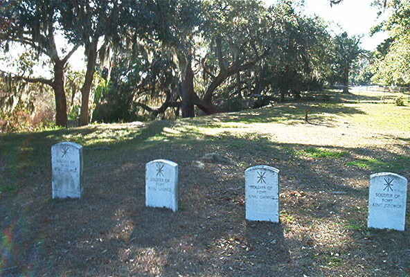
There are 65 graves on the site, which includes 15 marked graves of British soldiers who served at Fort King George.