Return to Maps
Georgia Map Collection
County and City Maps
Baker County
Baldwin County
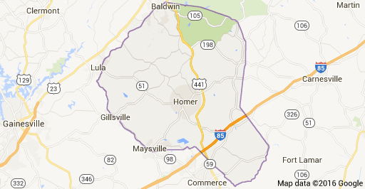
Banks County
Bartow County
Bibb County
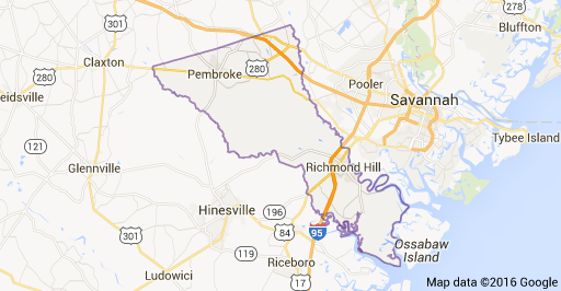
Bryan County
Bulloch County
Burke County
Calhoun County
Camden County
Campbell County
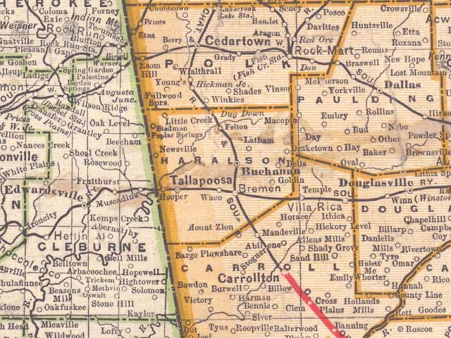
Carroll County (towns)
Catoosa County
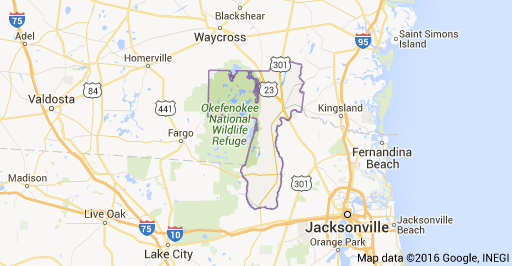
Charlton County
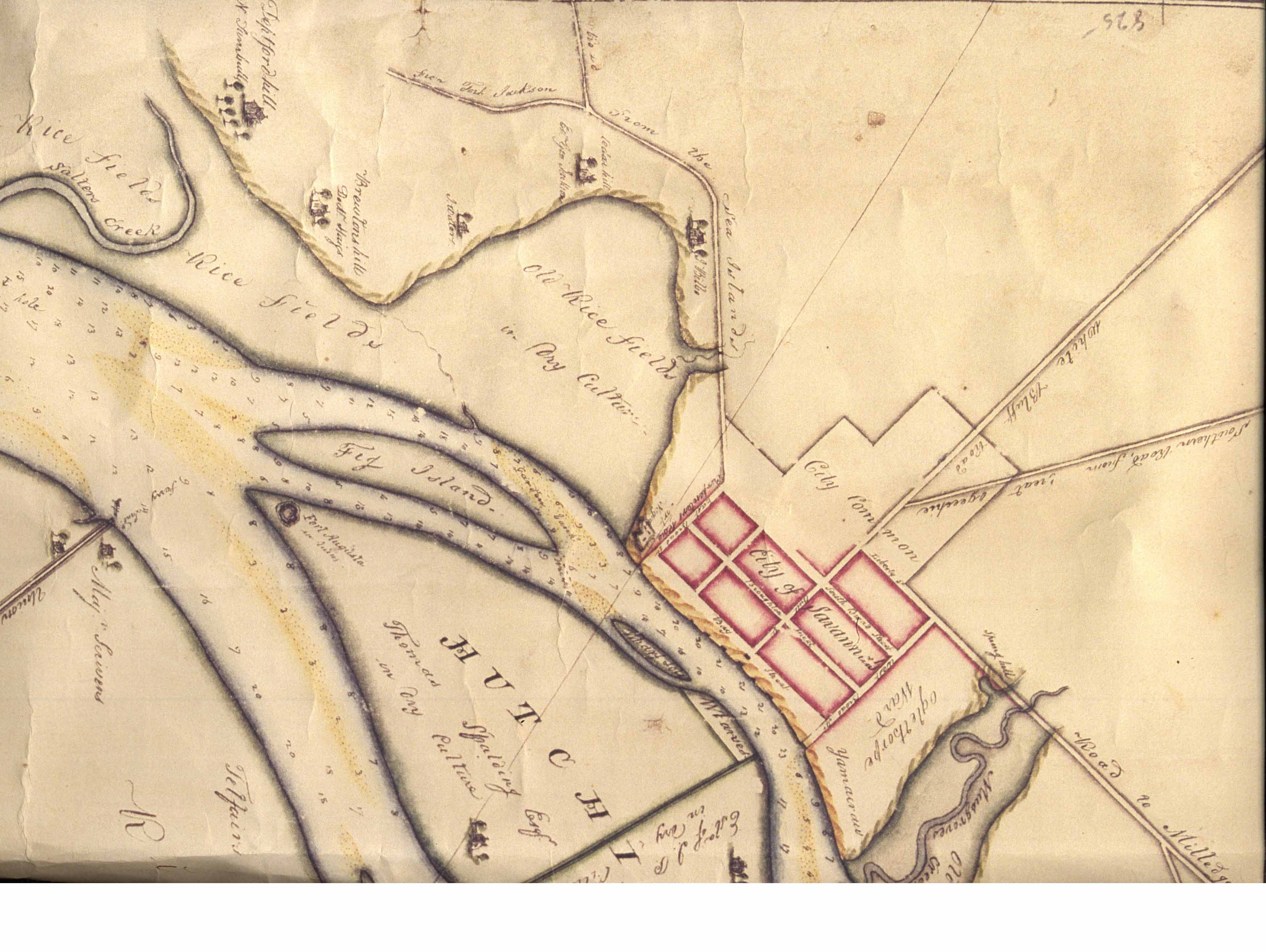
Chatham County
Chatham County
Chatham County
Chatham County
Chattahoochee County
Chattooga County
Cherokee County
Clay County
Clinch County
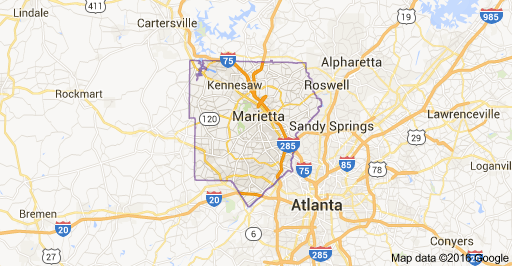
Cobb County
Coffee County
Columbia
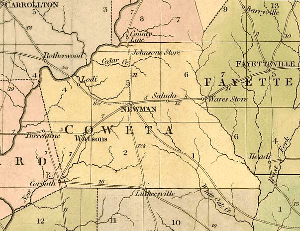
Coweta County
Crawford County
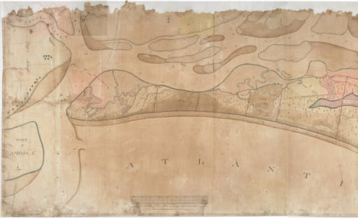
Cumberland Island
Dade County
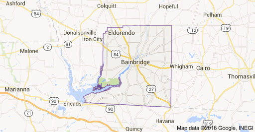
Decatur County
DeKalb County
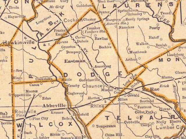
Dodge County
Dooly County
Douglas County
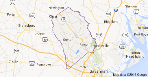
Effingham County
Emanuel County
Fannin County
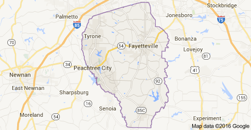
Fayette County
Floyd County
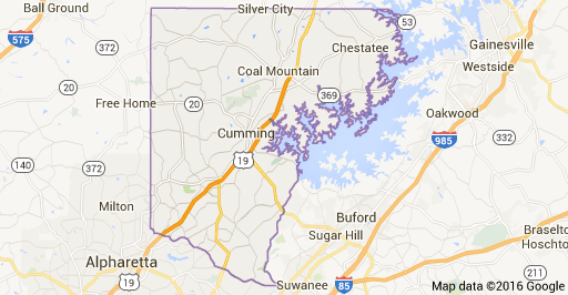
Forsyth County
Franklin County
Fulton County
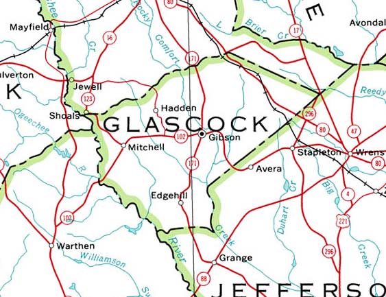
Glascock County
Gordon County
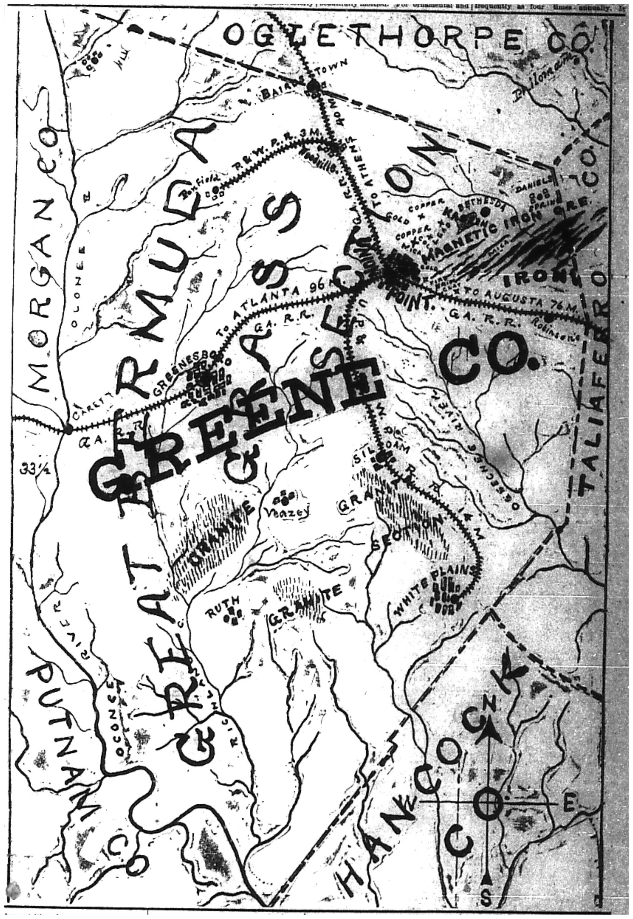
Greene County
Gwinnett County
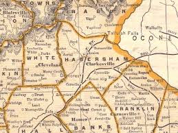
Habersham County
Hall County
Hancock County
Haralson County
Harris County
Hart County
Heard County
County and City Maps
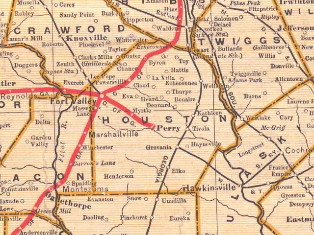
Houston County
Irwin County
Jackson County
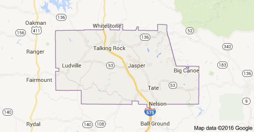
Jasper County
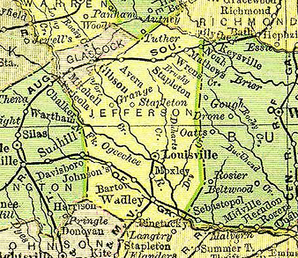
Jefferson County
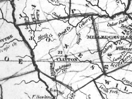
Jones County
Jones County (1823)
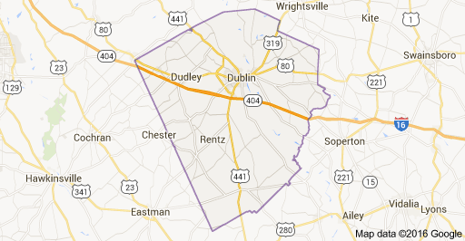
Laurens County
Liberty County
Lincoln County
Lowndes County
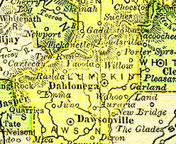
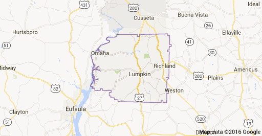
Lumpkin County
Macon County
Madison County
Marion County
McIntosh County
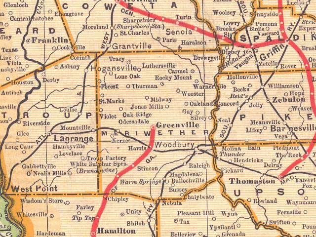
Meriwether County
Milton County
Montgomery County
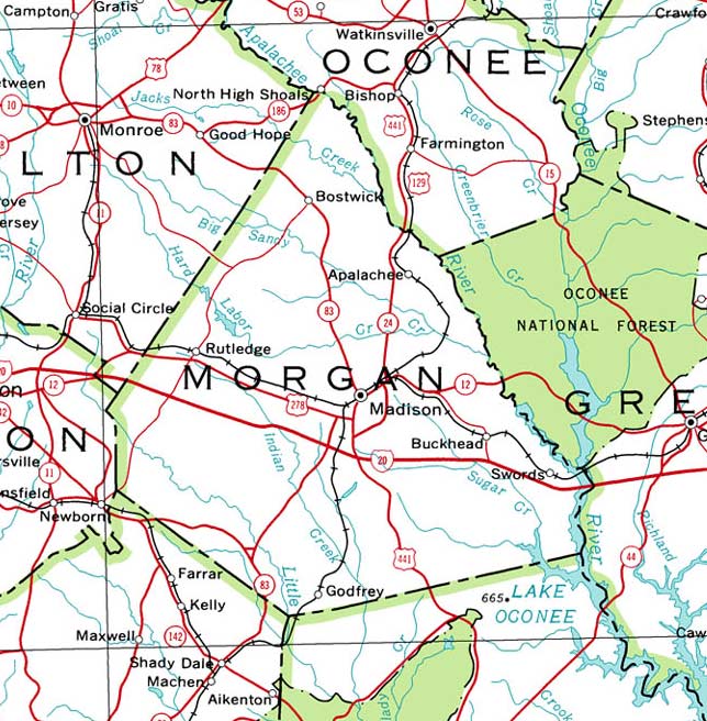
Morgan County
Murray County
Muscogee County
Oglethorpe County
Paulding County
Peach County
Pickens County
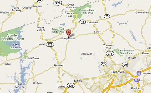
Pumpkintown
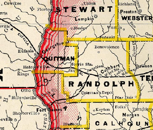
Quitman County
Rabun County
Richmond County
Rincon
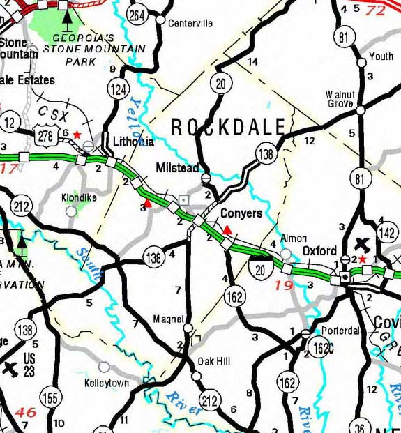
Rockdale County
Sapelo Island
Schley County
Screven County
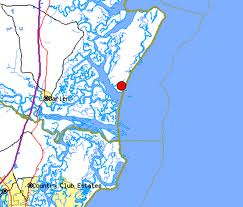
St. Marys (Camden County)
St. Marys (Camden County)
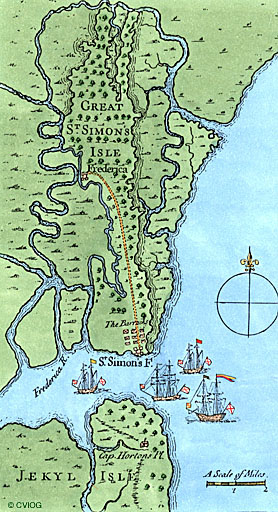
St. Simon's Island (Military Road)
Stewart County
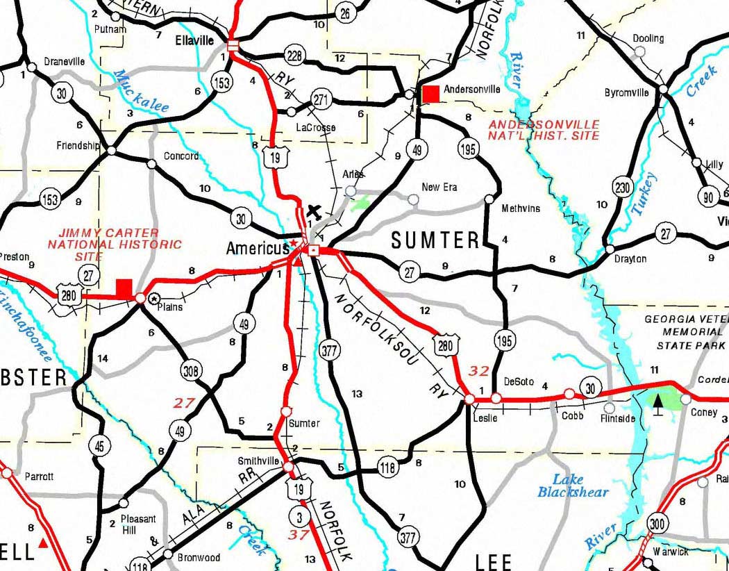
Sumter County
Taliaferro County
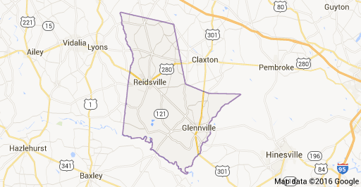
Tattnall County
Terrell County
Walker County
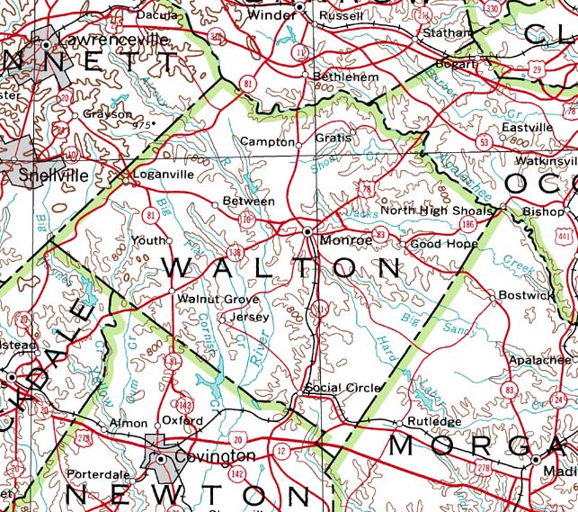
Walton County
Warren County
Washington County
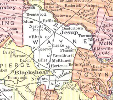
Wayne County
Wilkes County 1955
Wilkes County
Wilkinson County
Worth County
General
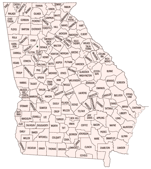
Georgia Map of Counties
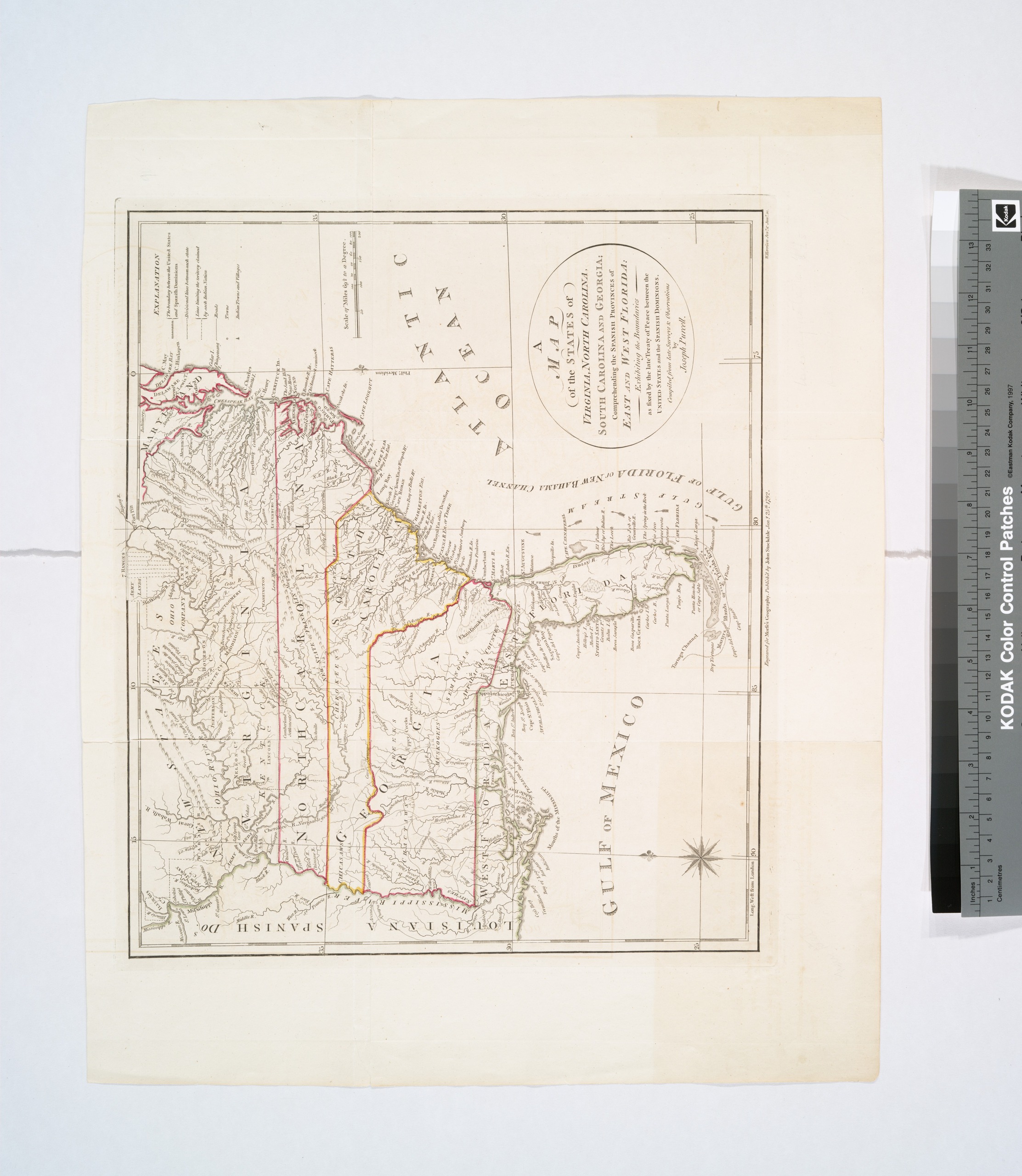
1792 Georgia, Virginia, North Carolina, South Carolina
Colonial Georgia Map
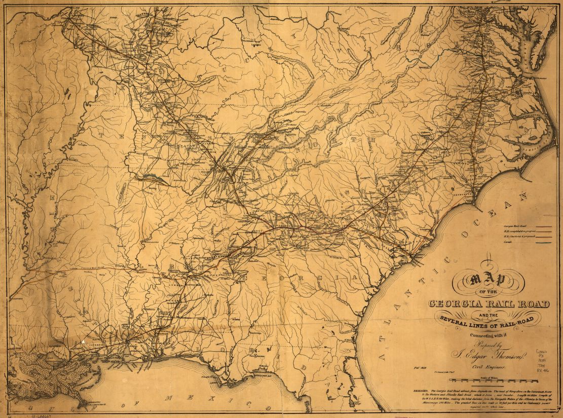
Georgia Railroad Map
Old Georgia Map
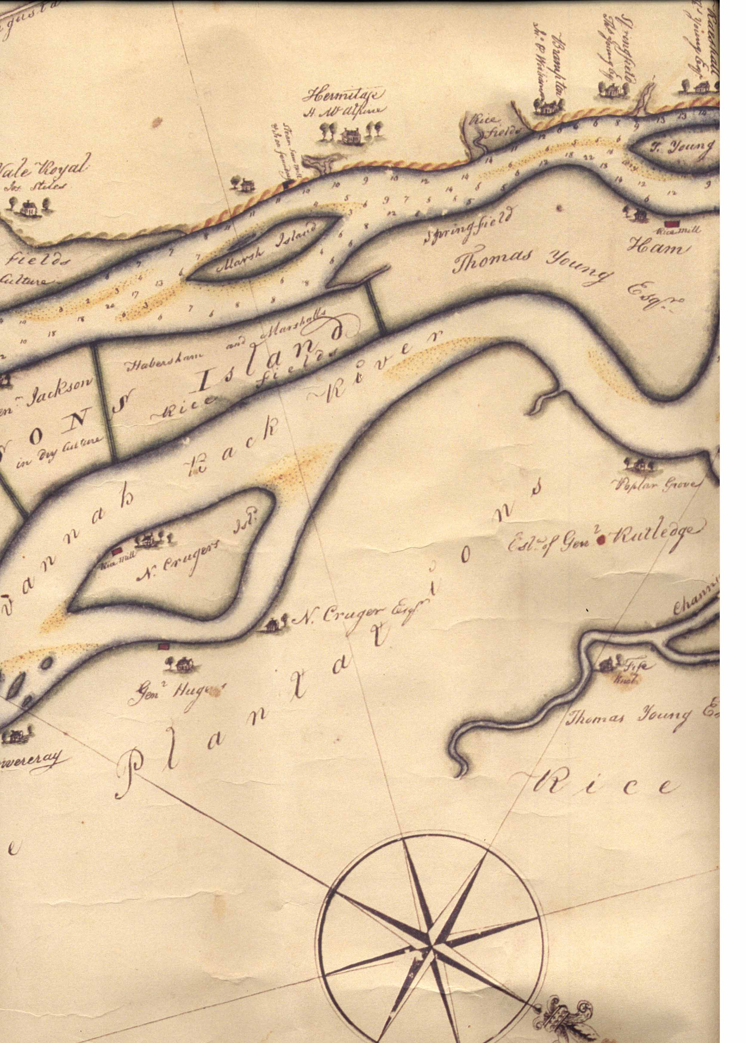
Plantations Sites
Hermitage Plantation, site of (Brunswick, Glynn County)
Hopeton Plantation, site of
Quaker Maps
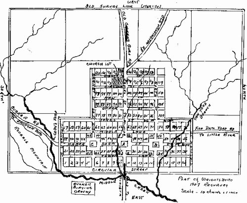
Wrightsboro
Wrightsboro (McDuffie County

